Elevation and feature mapping for site design, civil engineering, and permitting.
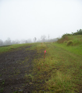
A topographic survey captures the three-dimensional shape of a parcel and its existing features: ground elevations, trees, walls, roads, structures, drainage, utilities, easements, and any other above- or below-ground items that affect design.
Architects, engineers, and landscape architects use our topographic surveys as the base map for site design and permitting. Detail level and contour interval are matched to the intended use — we work with you to specify the right scope.
Get a quote for Topographic Survey — or call (808) 329-2353.